
Walk Anderson Township Streets by Address
The first Anderson Township street directory task is an address-to-owner-to-deed workflow. Start with the Hamilton County Auditor’s Street Address mode. A single house uses House # Exact/Low with High left blank. A short visible run uses low and high house numbers plus only the base street name. The result is a parcel clue, not a household roster. Keep its property key, parcel number, situs address, legal description, transfer facts, and current owner or organization separate from any claim of who occupies the location.
- Run the exact address or a short range in Auditor Property Search, using the Street Listings aid when spelling is uncertain.
- Record the parcel number, property key, owner or organization, book/page, transfer date, subdivision, lot, and legal description.
- Open the parcel in CAGIS if the live map is available. If it is not, use the Auditor property key with Feet from Origin to find nearby parcels, then compare addresses one by one.
- Put the Auditor number, legal description, book/page, date, or party name into Recorder Acclaim to inspect the recorded chain.
- For an older printed address listing, use CHPL’s Pink Pages or Criss-Cross volumes. For a named voter question, use the official individual lookup, not a street roster.
This sequence separates ownership, recorded transfers, historic listings, and named registration questions. It also preserves the identifiers needed when a portal does not return the expected result.
Anderson Township Auditor Range Search
The Auditor Property Search is the verified address-search tool for this street directory. It supports owner, Street Address, Parcel ID, sales, and advanced modes. For a long Anderson Township road, split the search into smaller low and high ranges because the portal limits responses to its first 1,000 results. Enter the street name without a suffix such as ST, DR, or CT. The tool’s Street Listings link can resolve accepted spellings before a user mistakes a formatting difference for a missing parcel.
| Field label | Type | Use on a street search | Format or limit |
|---|---|---|---|
| House # Exact/Low | Text or number | Exact house number or low range endpoint | Use alone for one address |
| House # High | Text or number | Upper range endpoint | Optional; pair with Low for a segment |
| Street Name | Text | Locate an address or range | Base street name only, with no suffix |
| Parcel Number | Text | Return to an identified property | Most Hamilton County parcels use 13 characters |
| Book and Page | Text | Follow a transfer reference | Use as recorded on the parcel trail |
| Transfer Date Low/High | Date range | Limit a sale or transfer search | Combine with other property facts |
| Origin Property Key | Text | Set a nearby-property origin | Use with Feet from Origin |
| Feet from Origin | Number | Find nearby parcels | A radius is not automatically a block |
View the Hamilton County Auditor source for its current property-resource information.
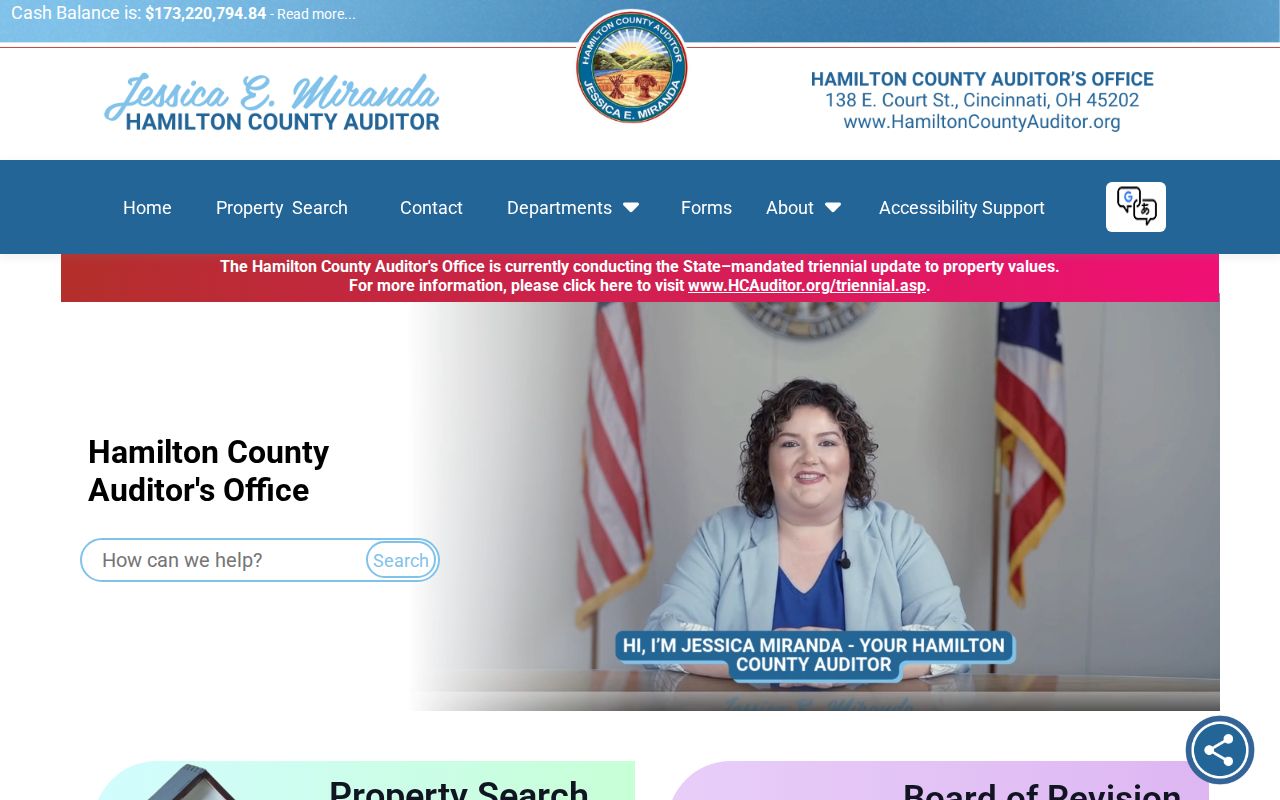
The Auditor route anchors an address inquiry to a specific parcel before the inquiry moves into map or deed records.
Anderson Township Parcel Identifiers
The street address is only the first key. A parcel number and property key identify the county property record. A legal description identifies the subdivision, lot, block, or section, town, and range language that can persist through an old deed book even when the street number has changed. Save each identifier with the date retrieved. The Auditor’s owner field is a legal-owner clue, while a mailing address is a tax correspondence address that may be outside the property.
- Parcel
- The county property unit linked to assessment, transfer, map, and tax-district information.
- Situs address
- The physical parcel location used for an address search and map context.
- Legal description
- Lot, subdivision, block, or township reference that connects a property to deeds and plats.
- Plat
- A recorded map that can show subdivision lots and the legal bridge between streets and land records.
- Criss-Cross directory
- An address-first historic directory, useful for a dated printed listing rather than title proof.
Anderson Township’s postal city, ZIP code, tax district, school district, and legal jurisdiction can point in different directions. The Township is unincorporated, and a Cincinnati mailing address does not settle its government jurisdiction. Use the parcel, map, and dated legal description together.
CAGIS Fallbacks for Anderson Streets
CAGIS is Hamilton County’s map entry point and is linked by the Recorder, but the live map application returned a gateway error during the research inspection. No unsupported search, layer, buffer, print, or parcel-link controls should be assumed from the public landing page. If CAGIS is working, identify the target parcel and compare surrounding parcel geometry through the live application. The map can add location context, not a complete occupant list.
If the map is unavailable, use the Auditor’s Origin Property Key and Feet from Origin fields as the documented nearby-parcel fallback. Then compare exact parcel addresses and legal descriptions one by one. Call county GIS or Recorder staff for map help, or use a counter and plat archive when a map or subdivision boundary is central to the question.
View the CAGIS Maps source before relying on the live map route.
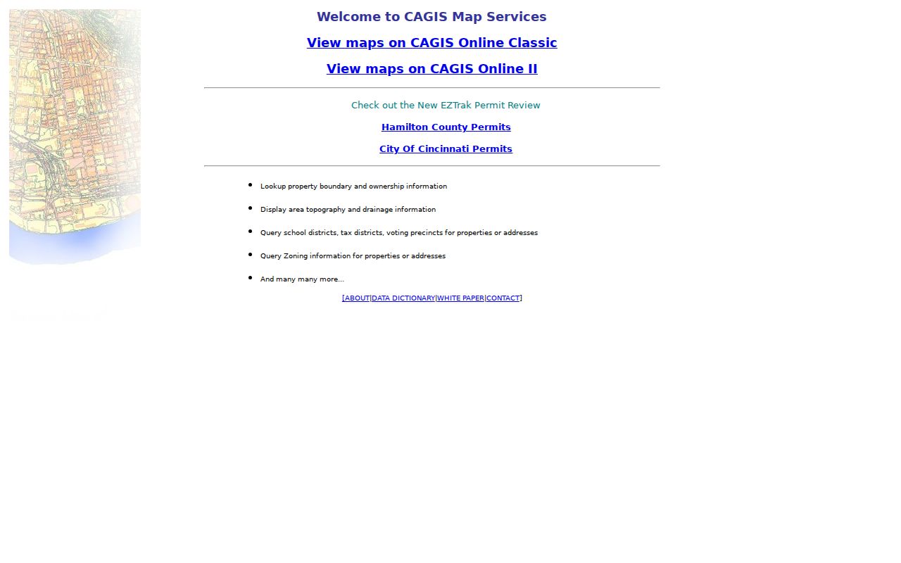
The CAGIS entry screen establishes the county map route, while the researched access limit makes the Auditor fallback important.
Anderson Township Acclaim Deed Chain
Recorder Acclaim turns a parcel clue into a dated document trail. Its query paths include name, record date, date range and document type, book/page, document number, subdivision/lot, section/town/range, Auditor number, subdivision name, and certificate number. Use the Auditor number or a legal-description route where available instead of trying to force a modern address into a deed index. The Recorder specifically directs address searching to the Auditor, which confirms this is a two-office workflow.
A useful instrument inventory includes indexed party or parties and roles, document type, recording date, instrument number, older book/page, Auditor number or legal description, and whether an image or certification path is available. Search a recorded seller as a prior grantee only after comparing the same lot, subdivision, or legal description. Do not assume a same-name document on the same street concerns the same property.
See the Recorder parcel deed-index source for the current parcel query.
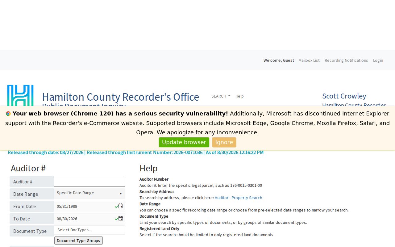
The Recorder parcel route uses the land identifier from the Auditor, creating a record chain instead of a street-name guess.
Anderson Township Lots and Plats
Subdivision and lot information can be more durable than a street number in Anderson Township. The official Township map includes streets, boundaries, ZIP regions, facilities, and a subdivision index. A name such as Anderson Commons, Anderson Forest, Anderson Green, Coldstream Park, Ivy Hills, Turpin Hills, Watch Hill, or Woods of Anderson is a research lead to test against a Recorder plat, not proof of a current organization or membership list.
Hamilton County uses section, town, and range language in older property work. A recorded plat or legal description may bridge an old street reference to a current parcel. Cincinnati’s broad street-number change in 1895 is only a warning for Cincinnati-core research. It must not be applied as an Anderson Township fact without a dated map, plat, or jurisdiction check for the particular property.
View the Hamilton County Recorder source for plat, historic-record, and current office routes.
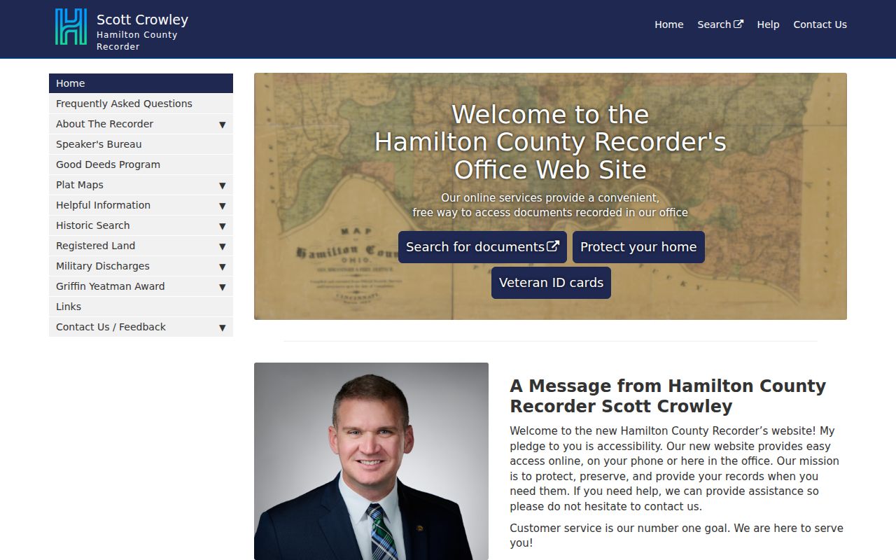
The Recorder is the custodian for plats and recorded instruments that help a street address retain its legal land connection.
Anderson Township Street Records by Address
Address-keyed records answer different parts of a street question. The Auditor leads with the parcel and legal owner. CAGIS contributes map context when available. Acclaim supplies documents and legal-description history. CHPL address directories add dated occupant or owner listings. Township permit files may show an activity or approval if an accessible record exists. The safe street directory result is a dated chain of sources, not a claim that every person connected to a road is listed.
| Source | Address method | What it can answer | Limit |
|---|---|---|---|
| Auditor | Exact number or low/high range with base street name | Parcel, legal owner, transfers, property traits | Not every resident or household member |
| Auditor advanced | Origin Property Key plus Feet from Origin | Nearby parcels and supported property filters | Radius is not a map-verified block |
| CAGIS | Live parcel/map identification if available | Parcel geography and street relation | Current controls must be checked live |
| Recorder Acclaim | Auditor number, lot, name, date, or document criteria | Recorded document chain and legal history | Not a complete occupant list |
| CHPL address directories | Pink Pages or Criss-Cross by street and address | Historic printed names and address context | Volume year and coverage control the evidence |
| Township departments | Focused address and date request | Accessible permit, approval, or work evidence | No online permit portal was located |
Voter information is not a street-directory layer. The official state route is for a named person, and voter records have statutory use limits and protected-record exclusions. It can support a limited registration or precinct question, but it must not be used to compile a list of people along a street.
Anderson Township Offline Permit Files
Anderson Township Planning & Zoning handles zoning permits for buildings, pools, fences, signs, and land-use planning. Fire & Rescue has stated construction, remodeling, and burn-permit functions. These address-linked files can add a work or approval date, applicant, or property connection when a releasable record exists. No public Township permit or code-case portal was located during research, so an online search should not be promised.
Use the Township’s focused request form, department contact, counter, or phone route. State the address, date range, record category, and preferred inspection or copy format. Ohio Public Records Act, ORC 149.43, generally permits inspection without a charge and allows actual copy costs, but redactions and protected material still apply. A permit can date activity; it does not establish title or present residence.
View the Anderson Township public-records request form for its inspection, copy, and delivery choices.
Anderson Township Criss-Cross Addresses
For historic street work, CHPL’s address-oriented Pink Pages began in 1925 and were called the Criss-Cross Directory by 1941. The street names are alphabetical and the addresses appear in order, so these volumes can help reconstruct a past sequence of printed listings. The Hamilton County directory collection is the natural first shelf for an unincorporated Anderson address. Compare a printed name, spouse, occupation, and volume year with census, map, probate, or deed evidence rather than treating it as current proof.
The Anderson Township city directory gives the collections, reading method, and library access in more detail. CHPL Genealogy and Local History provides staff appointments, directories, census, maps, newspapers, and restricted in-library resources. This is the library and archive fallback when the parcel and deed chain reaches a historic gap.
Anderson Township Street Directory Limits
A street address cannot safely reveal every person who receives mail, has an account, visits, or lives at a location. An Auditor result can identify a legal owner or organization, but an owner mailing address may be elsewhere. A directory shows only the names printed for its volume year. Voter lookup is a named-person confirmation channel, not a resident roster. Utility customer information, protected voter information, and motor-vehicle personal information are not open street-directory substitutes.
Safe at Home can affect public address disclosure for eligible survivors. Sealed court records and other statutory redactions also remain protected. If information is missing, use the record’s proper custodian or archive path rather than trying to infer private facts from a partial result.
Anderson Township Records Reach Back
Historical coverage gives this street directory a useful time scale. CHPL describes Recorder deeds from 1789 to present, historic deed books beginning in 1794, and Auditor house-history material from 1937 forward. The Recorder’s historic grantor and grantee index is labeled 1914 through 1988. Use the current portal first, then the named historic book or index, counter record, and library or archive if the record predates a digital series.
The Recorder launched Acclaim in 2025, and a 2026 notice warned that submitter mailback information was temporarily hidden in document-detail results. That is a practical reason to request the actual document, copy, or counter confirmation when a detail matters. The Recorder’s recording-notification service can monitor up to five name variations for matching recorded documents, but it is a protective alert service rather than proof of ownership.
See the Recorder Recording Notification Service source for its current terms and enrollment details.
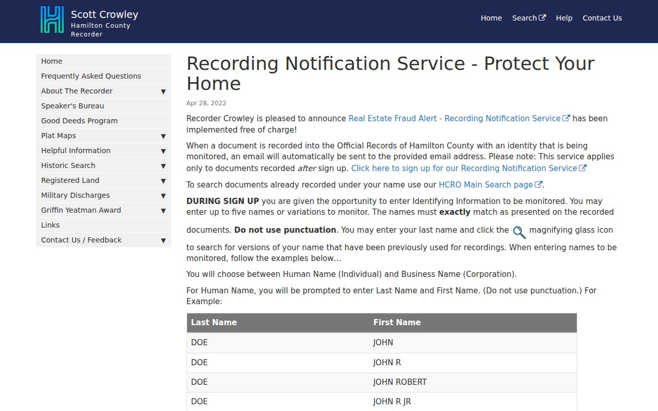
The Recorder notification service adds a recorded-document alert route, while the parcel and deed chain remains the evidence path for an address question.