
Anderson Township ZIP Code Coverage
The Hamilton County Public Health profile identifies three ZIP codes that cover Anderson Township: 45230, 45244, and 45255. They are delivery areas, not township lines. A single ZIP can cross a local-government boundary, and a Cincinnati mailing city does not by itself establish that an address is in Cincinnati or in unincorporated Anderson Township. The table preserves the limits of the source: an exact postal facility name and carrier-route boundary were not captured, so USPS should verify each address.
| ZIP | Areas Covered | Post Office | Notes |
|---|---|---|---|
| 45230 | Part of Anderson Township, including the Township headquarters area | Verify USPS | A Cincinnati mailing city does not decide township jurisdiction. |
| 45244 | Part of Anderson Township; nearby Newtown and Clermont-area addressing needs a parcel check | Verify USPS | Postal coverage crosses local-government context. |
| 45255 | Part of Anderson Township, including Beechmont-area examples | Verify USPS | Do not infer one station or boundary from directory examples. |
Post-office names, PO-box-only areas, ZIP changes, population figures, and full carrier routes were not verified in the research. Treat the three codes as coverage clues, then check the individual delivery result.
Verify an Anderson Township ZIP Code
Use the full street address with the USPS ZIP Code Lookup before searching a county record. USPS is the delivery-address verifier. If its formatting differs from the county format, retain both versions. The Auditor advises address searchers to use the bare street name without a suffix, while postal formatting can use a standard street suffix. A postal mismatch is a prompt to test the number, base street name, parcel number, and map context, not proof that the address is absent.
ZIP Code Directory - USPS ZIP Code Lookup is the source for the verification interface.
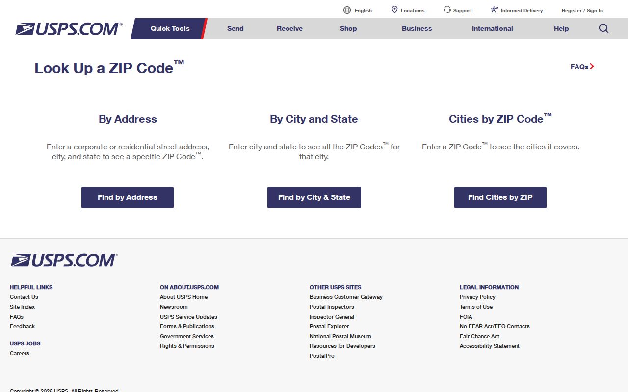
The returned ZIP or ZIP+4 applies to the stated delivery address. It does not identify a land-record custodian or establish township membership.
Search Anderson Township ZIP Records
There is no ZIP-wide owner or deed query in the inspected county systems. Hamilton County Auditor Property Search accepts owner, street address or range, parcel number, sales, and advanced property criteria. Recorder Acclaim uses party names, dates, document type or number, book/page, subdivision or lot, section/town/range, Auditor number, subdivision name, and certificate number. Neither captured interface exposes a ZIP field. The useful ZIP code directory workflow therefore narrows a delivery address before it moves into address and legal-description records. That is important when an address has a Cincinnati postal city but the parcel, tax district, or Township jurisdiction tells a different government-record story. Retain the USPS result as a delivery check and retain the county identifiers as the land-record trail.
- Verify the specific delivery ZIP with USPS and keep the complete address.
- Search the Hamilton County Auditor Property Search by exact number or street range, using the street name without a suffix.
- Record the parcel number, situs address, legal description, tax district, and property key from the matching parcel.
- Use the parcel number or legal description at the Recorder or CAGIS when a deed, plat, or jurisdiction question remains.
Once a ZIP is reduced to an address or street, the Anderson Township street directory has the full address-keyed record chain.
ZIP Codes Versus Anderson Township Limits
Anderson Township lies in southeastern Hamilton County between the Ohio and Little Miami Rivers. Its postal and government geography overlap with Cincinnati, Newtown, and other nearby places. The official Township map shows township and city boundaries, ZIP regions, streets, facilities, and a subdivision index. The map is a strong starting point, but a delivery route is still not a jurisdiction line. Confirm the parcel and tax district when the custodian matters.
ZIP Code Directory - Township history and boundaries gives the Township’s historical and geographic context.
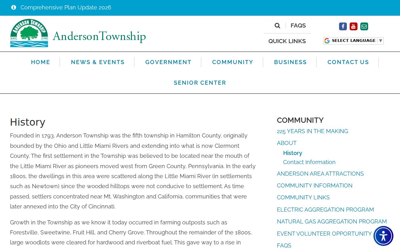
Historic annexation and growth make a dated map or plat especially useful when an older address is near a present boundary.
Anderson Township ZIP Address Terms
County records use more than a postal address. A situs address is the physical parcel location used by the Auditor and CAGIS. A mailing address is where an owner receives correspondence and may use another ZIP or jurisdiction. A legal description identifies the lot, subdivision, or section/town/range in deed and plat records. A postal city is a delivery convention. Keeping these terms apart prevents a ZIP code directory search from turning a mail label into an ownership or residence conclusion.
- ZIP versus ZIP+4
- A ZIP identifies a broad delivery area; ZIP+4 narrows delivery for a particular address or recipient.
- PO-box ZIP
- A code used for post-office boxes, which need not describe a street delivery area.
- Unique ZIP
- A code assigned to one organization or large recipient; none was verified here.
- Carrier route
- A delivery sequence used by USPS, not a township or parcel boundary.
Address corrections and record questions can go to different offices. The Hamilton County Regional Planning Commission assigns street addresses in unincorporated Hamilton County townships. Anderson Township Planning and Zoning handles certificate and land-use records. Preserve the legal description and parcel number for a deed, plat, valuation, or tax-district question, then use the Auditor or Recorder. A ZIP result is a delivery fact, while county parcel identifiers establish the land-record route.
Anderson Township ZIP Map Clues
The official Township map’s subdivision index can bridge a familiar address to the name used on a plat. Anderson Commons, Anderson Forest, Coldstream Park, Ivy Hills, Turpin Hills, Watch Hill, and Woods of Anderson are examples in that index. Record a subdivision name and lot when available, then check the Hamilton County Recorder’s plat or document routes. Those legal identifiers tend to hold up better than an assumed ZIP boundary when land history is the question.
The township was founded in 1793 as Hamilton County’s fifth township. Later boundary and annexation changes mean an old address should be tested against a map from its own period, rather than projected backward from a current ZIP code.
Road and service boundaries are another reason to keep the identifiers separate. The Township says ODOT maintains Beechmont, State Route 125, State Route 32, and Kellogg, while Hamilton County maintains Clough, Eight Mile, and Five Mile roads; accepted secondary streets are a Township responsibility. A road name or ZIP may therefore point toward the wrong office. Start with the parcel and a dated map, then ask the appropriate recorder, county office, or Township department for the narrow record needed.
ZIP Code Election Search Limits
The Hamilton County Board of Elections and Ohio voter services are useful for an individual registration or precinct question, not for assembling names by ZIP. The county check-registration form uses a named person with street number, street name, suffix, and ZIP. The Secretary of State public data portal has separate package and statutory-access rules. Ohio voter records have protected fields and Safe at Home exclusions, while ballot choices are never a voter-lookup result.
The statewide data portal has Election, Start Date, End Date, County List, Search, Clear, and download controls. A custom package asks for a first name, last name, and email, may take up to 24 hours, and its download link lasts 72 hours. Those delivery mechanics do not expand the statutory limits on voter-file use. The Board of Elections remains the better route for a question about a particular name, precinct boundary, or official inspection procedure.
ZIP Code Directory - Hamilton County elections home is the County’s election-office starting point.
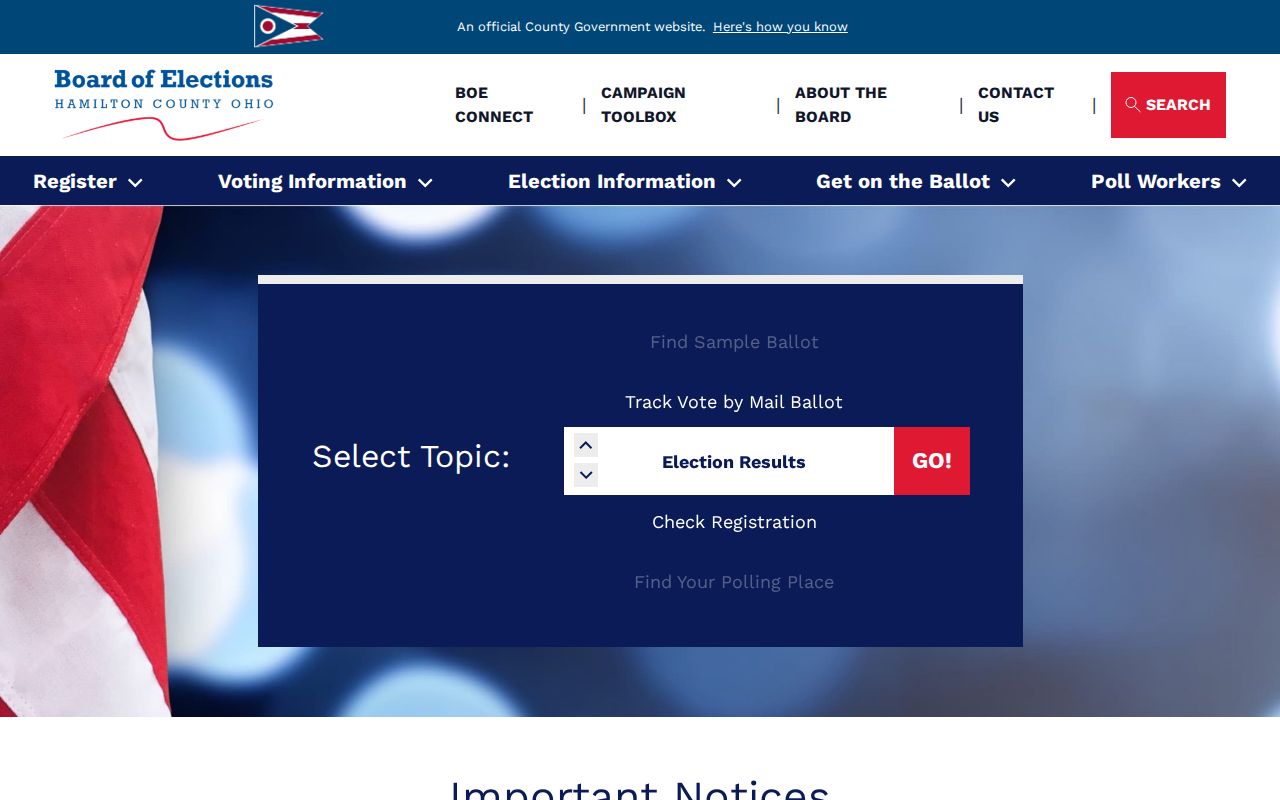
For registration spelling, a precinct boundary, or an inspection procedure, contact the Board instead of treating ZIP as an election district.
Anderson Township ZIP Request Paths
Township planning, fire, public works, and administrative files may be tied to a physical address and date range, but no public Township permit or code-case search was found. First confirm that the parcel is actually in unincorporated Anderson Township. Then ask the relevant department for a defined record class and the exact address. Under the Ohio Public Records Act, ORC 149.43, inspection of a nonexempt public record is generally free and copy charges may reflect actual cost.
A Township request can describe the street address, date range, department, and whether inspection or copies are wanted. Planning and Zoning keeps certificate and land-use material; Fire and Rescue has stated permit functions; Public Works and administrative offices keep their own records. The Township form notes a five-cent charge for ordinary 8.5 by 11 inch copies, plus at-cost oversize duplication and mailing, with prepayment where applicable. It gives no fixed processing time. Do not make a request for everything associated with a ZIP or a person. Ask for a defined address-based record and allow the custodian to apply lawful redactions.
Note: A focused address and date range lets the custodian locate a record without mistaking a ZIP code for a complete jurisdiction description.